Decoding A Property Survey: A Step-by-Step Guide
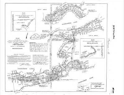 Plan of Subdivision
In this guide, we'll breifly break down the key elements of a survey plan and explain how to use them:
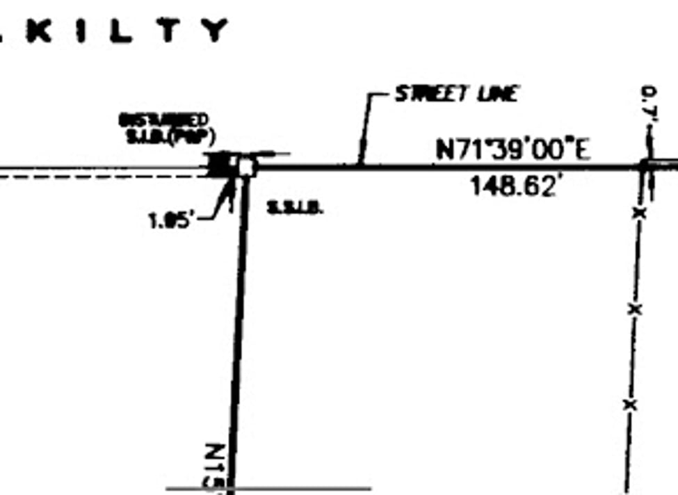
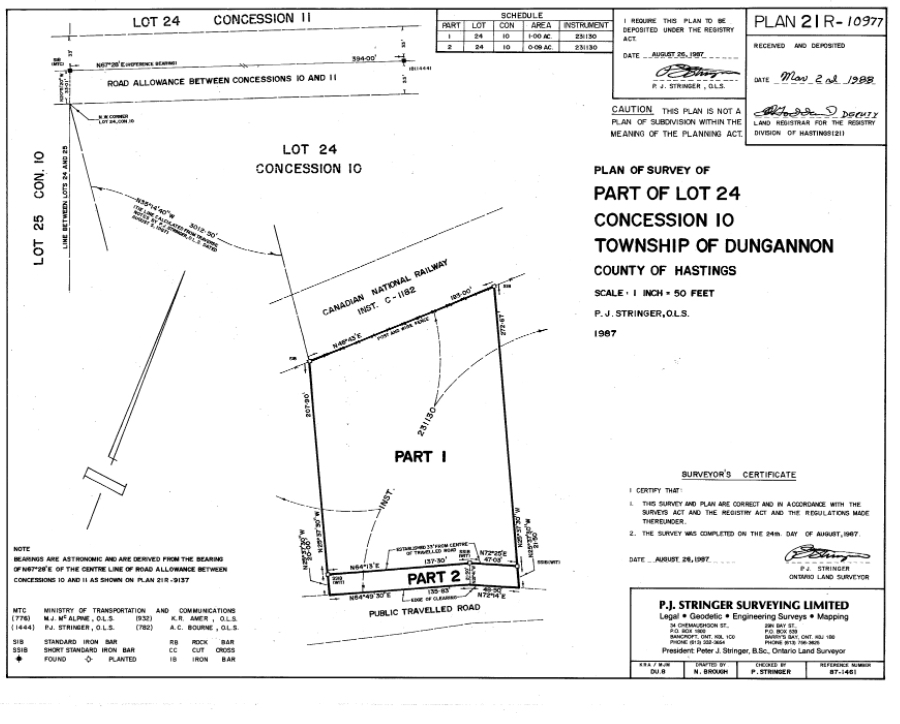
Boundary Lines
Firstly, the boundary lines on the survey plan show the precise edges of the property. Knowing the exact boundaries is essential to avoid issues with neighbours. In the survey the boundary lines are noted as thicker black lines.
Boundary Measurements
Further, each boundary line has a direction (bearing) and distance associated with it. These measurements allow you to verify the accuracy of the boundaries and spot any encroachments.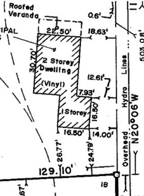
Structures and Setbacks
The survey plan outlines the distances between buildings and structures on the property, as well as the surveyed boundaries. Use the survey plan to see where you where you can build or make changes.
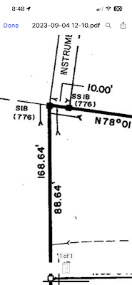
Survey Markers
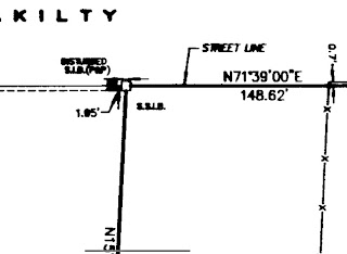
In fact, surveyors use various methods to clearly mark property corners, including setting monuments or measuring from known points. Generally, you use these markers are essential references.
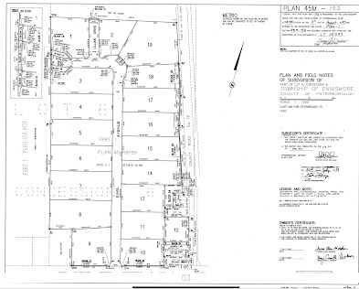
Subdivision Details
Whereas, the underlying subdivision plan provides historical context about how the property was initially developed and divided.
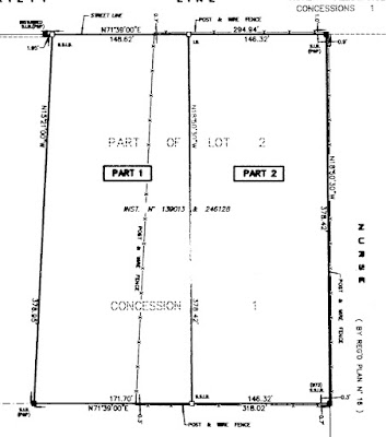
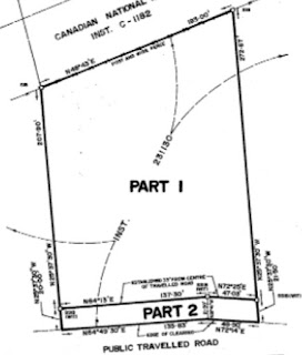
Land "Parts"
Furthermore, one parcel can be made up of multiple PARTs that are numbered. You can discover the PARTs that make up the one parcel by finding it on the survey or referring to the legal description of the property seen on a real estate listing, offer or GeoWarehouse report.
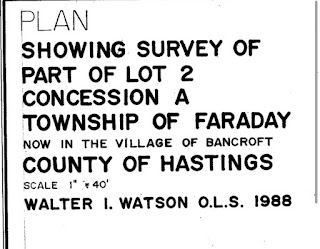
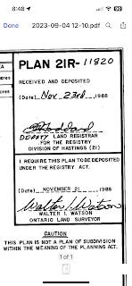
Title and Description
Additional Plans
Finally, other survey plans may be referenced to provide supplementary boundary information to support the current survey.
By understanding these key elements, you'll be able to easily read and interpret a property survey.
Mastering this skill is invaluable for anyone involved in real estate or land transactions.

If you are looking to either Buy or Sell, contact me at 705-927-6236
Brad Sinclair, Sales Representative
Team Lead at The Brad Sinclair Team
Royal Heritage Realty

